Fearing Iran’s retaliation, ‘Israel’ jams GPS, heightens readiness

Awaiting a promised “slap to the face,” the Israeli military command resorts to rare actions, disrupting geolocations across occupied territories.
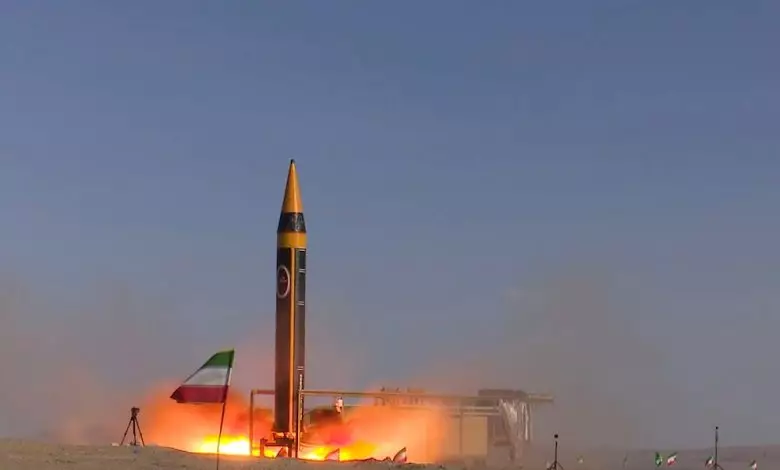
Israeli authorities are disrupting the global navigation satellite system (GNSS) in occupied territories, hoping to weaken “enemy capabilities” ahead of an anticipated Iranian response to the Israeli aggression on the Iranian Consulate in Damascus, Syria.
Several Israeli media outlets reported on the effects of disruptions in what is more commonly known as GPS, which have caused devices in occupied Palestine to shift their geolocations to Lebanon’s capital, Beirut.
Makam News said that the disruption has also affected central occupied cities including “Tel Aviv’s” “Gush Dan” area. By disrupting geopositioning systems, Israeli occupation forces hope to hinder the effectiveness of guided munitions and unmanned vehicles, such as ballistic missiles and drones.
According to the Israeli media outlet, Israeli occupation forces have resorted to electronic jamming since the beginning of confrontations in northern occupied territories. This week has also seen electronic warfare systems’ activation in “Arraba”, 22 km away from the Israeli line of withdrawal from Lebanon, and the southernmost occupation city of “Eilat” on the Red Sea.


